![]()
 |
This was an attempt to get people to buy lots and settle south of Mound City. Very few homes were built in this area until the 1970's. Almost all of this area was citrus groves for most of the twentieth century.
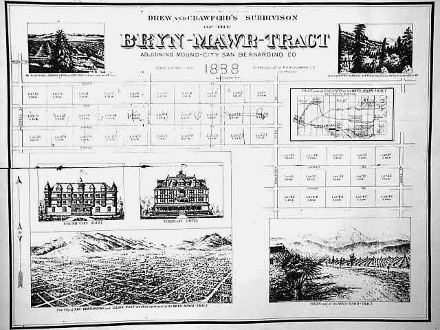
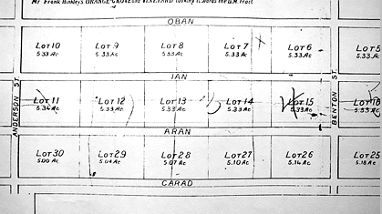
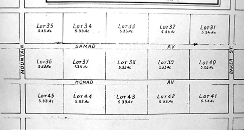
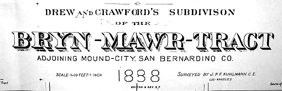
This subdivision of land, made in 1888, included lots in much of today's Loma Linda. Notice that the streets that go north and south are mostly the same. Can you find Anderson, Benton, and Mountain View Avenues? One east-west street is still around: Prospect Ave. All the other east-west streets are from the Book of Mormon. Can you find Oban, Ian, Aran, Carad, Samad and Monad Avenues?
A full size copy of this map can be seen in the office of Bryn Mawr Elementary School.
|
|
A close-up view of the west side of Bryn Mawr in 1888. The Ronald McDonald House and Community Hospital would be in this area. |
|
A close-up view of the east side of Bryn Mawr in 1888. This would include most of the houses near Bryn Mawr Elementary School, and Hulda Crooks Park. |
|